A report by Léonard El-Hokayem, doctoral researcher at Martin Luther University Halle-Wittenberg and the German Centre for Integrative Biodiversity Research (iDiv)
Groundwater plays a critical role in maintaining the resilience and stability of many ecosystems. In water-limited regions, it shapes entire landscapes by sustaining groundwater-dependent vegetation (GDV). Despite their importance for biodiversity and climate resilience – and growing threats from climate and land-use change – these ecosystems have remained poorly mapped at large spatial scales.
In our new study published in Ecological Indicators, we present the first high-resolution map identifying where GDV is likely to occur across the Mediterranean biome worldwide. The study, conducted by researchers at Martin Luther University Halle-Wittenberg in collaboration with the sPlot Consortium, marks a significant step forward in identifying and protecting these ecological oases in an increasingly dry world.
482,000 km² of Groundwater-Dependent Vegetation
We mapped approximately 482,000 km² of likely GDV, representing 28% of all semi-natural vegetation across the Mediterranean biome. Major hotspots were identified in the Iberian Peninsula, southern France, central Chile, California and southwestern Australia.
GDV is particularly concentrated along coastlines, rivers, and shallow aquifers, where access to groundwater buffers plants against seasonal drought. However, we discovered that only about 25% of mapped GDV falls within protected areas – highlighting a substantial conservation gap.
We found that soil texture, dry-season vegetation vitality, and elevation are the primary environmental drivers shaping GDV distribution in Mediterranean regions. By combining satellite with vegetation plot data, we were able to show that GDV forms distinct “green and cool islands” – areas of higher vegetation vitality and lower land surface temperature embedded within otherwise dry landscapes. These refugia enhance biodiversity, maintain ecosystem productivity, and regulate microclimates, underscoring their importance under intensifying drought conditions.
An interactive tool for conservation and research
To make our findings widely accessible, we provide an interactive online map that allows users to explore different GDV layers and visualise key environmental predictors. The GDV map offers a baseline for monitoring ecosystem responses to global change and supports conservation planning and sustainable groundwater management in the drought-stressed Mediterranean biome.
To generate the maps, we developed a modelling framework integrating information across three ecological levels:
- Species level: Occurrence records from GBIF, building on the first global checklist of 1,071 groundwater-associated plant species.
- Community level: Classified vegetation plot data from the sPlot database.
- Biome level: Eleven environmental predictors derived from remote sensing and global geospatial datasets capturing soil, topography, vegetation, and climate conditions.
Using a Random Forest model trained on 18,365 ground-truth locations, GDV occurrence was predicted at 30-m resolution for the period 2018–2023, achieving an overall accuracy of 75%.
Original publication
(Researchers with iDiv affiliation bolded)
El-Hokayem, L., Damasceno, G., Sabatini, F. M., Bruelheide, H., Bonari, G., Dwyer, C., Gonçalves, F., Jiménez-Alfaro, B., Millett, J., Peñuelas, J., Svenning, J.-C., Altman, J., Chen, H. Y. H., Dziuba, T., El-Sheikh, M. A., Güler, B., Hending, D., Hérault, B., Hatim, M. Z., Meyer, C., … Conrad, C. (2026). A global map of groundwater-dependent vegetation in the Mediterranean biome. Ecological Indicators, 183, 114669. DOI: 10.1016/J.ECOLIND.2026.114669
Contact
Léonard El-Hokayem
Martin Luther University Halle-Wittenberg
German Centre for Integrative Biodiversity Research (iDiv) Halle-Jena-Leipzig
E-mail: leonard.el-hokayem@geo.uni-halle.de
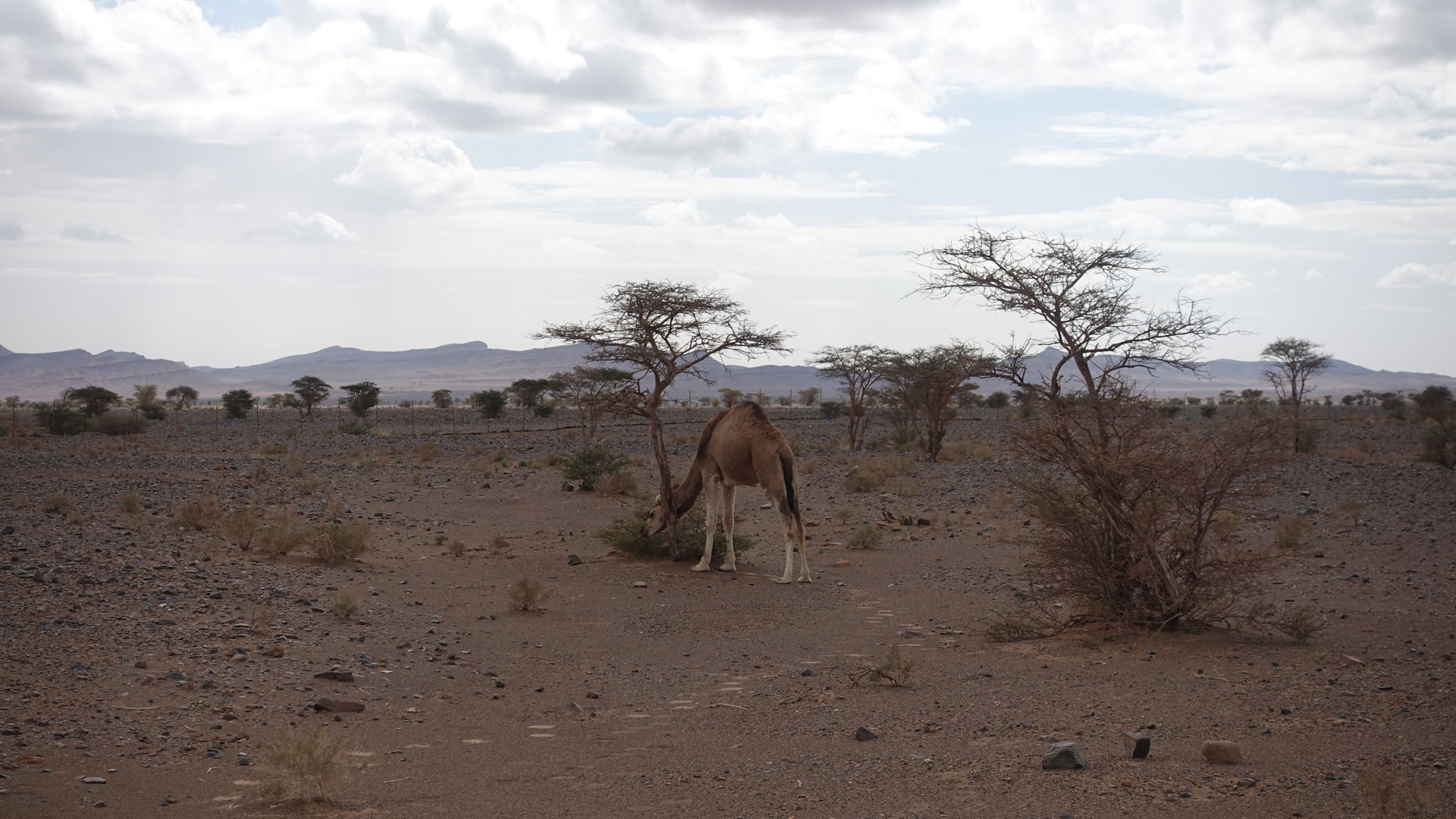
Groundwater-dependent vegetation provides food and ecological refugia in dry steppes.

Groundwater-dependent vegetation is generally densely vegetated, more drought-resilient, and located in lowland areas where water accumulates forming ‘green and cool islands’ in dry landscapes.