Our mission
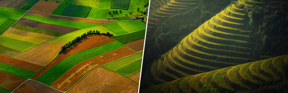
Capturing global dynamics of land use
LUCKINet was founded on a shared vision of free, quality-assured, and interoperable data products that depict global dynamics in different facets of land use over the past decades at a high thematic and spatial detail. Such data products will enable manifold applications in science, policy, and management for which currently available data products are woefully insufficient.
Consistency and interoperability
LUCKINet develops data products on multiple land-use variables that are all mutually consistent and interoperable. Dynamics in crop, livestock and forest systems can be analyzed together and their interdependencies can be captured. To this end, we develop and employ modelling techniques that consider the spatiotemporal dynamics of different land use forms in an integrative framework.
Avoiding the “garbage in, garbage out” problem
The accuracy of any modelled data product crucially hinges on the availability of detailed, high-quality, and unbiased primary data that can be used for model training and validation. The members of LUCKINet make great efforts to mobilize and integrate primary observational data on land-use from hundreds of disparate sources. We also take great care of assessing the uncertainties in those input data and making these visible in the final land-use maps.
Provenance documentation and quality-assurance
Our computational routines produce standardized metadata that we use to track the provenance, quality, and interoperability of all the data products we develop.
Different tools for different purposes
Different applications place distinct demands on gridded land-use information. We cater for these different needs by developing alternative versions of data products that are optimized for a range of typical downstream applications. Our computational routines can, for example, produce data that are consistent with the official numbers published by national statistical agencies and are ready to be used in global assessments supporting international policy-making processes. On the other hand, applications tailored to environmental resource managers can provide highest-possible accuracy of the individual pixel values in their focal region by including local expert knowledge even if the results deviate from official numbers. Yet other applications may require global consistency in the input data and only minor modelling assumptions.
Collaborative workflows to enable iterative improvements
LUCKINet builds on the power of collaboration. Our vision acknowledges that not all aspects can be addressed at the same speed or in parallel and embraces the need to address more challenges than would be feasible for a single research group over the course of a few years. Our collaborative computational workflows rely on open-science principles and enable us to address the different challenges via distributed efforts. This allows us to successively improve the developed tools and data products as our collaborative network grows and better input data become available.
